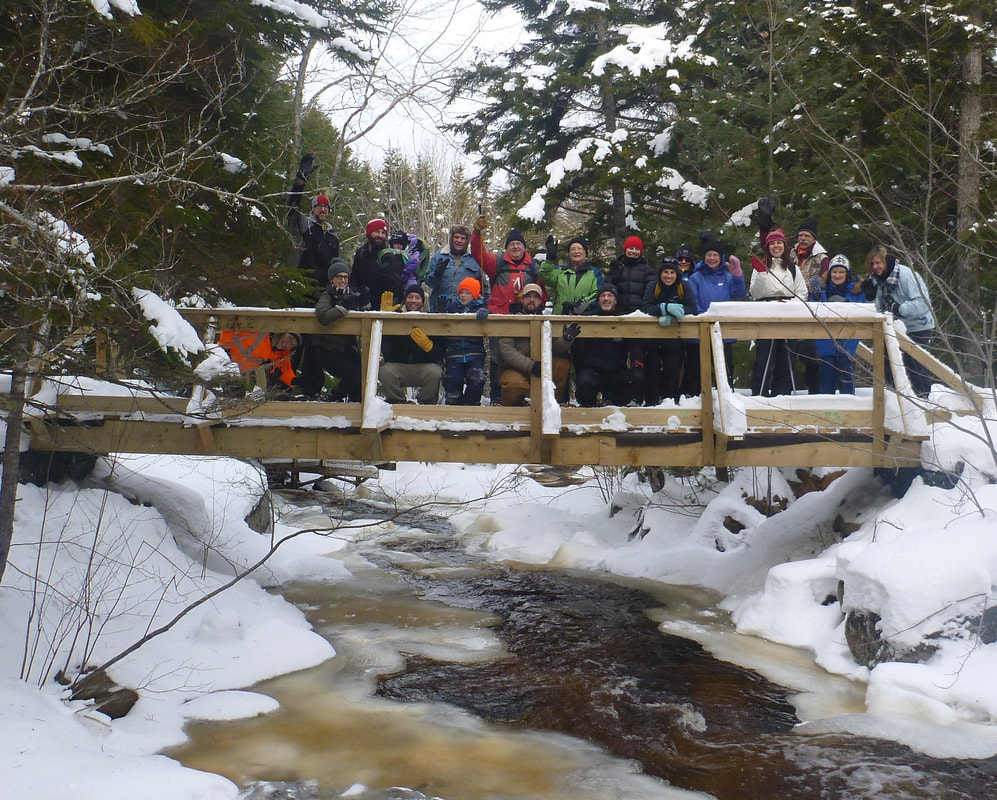
The Acacia Valley Trails offer a mix of woodland trails, less than 10km from Digby, with a little something for everyone: wheelchair accessible trails, single track walking paths and an ATV bridge, all connecting to miles and miles of logging roads on neighbouring Crown lands.
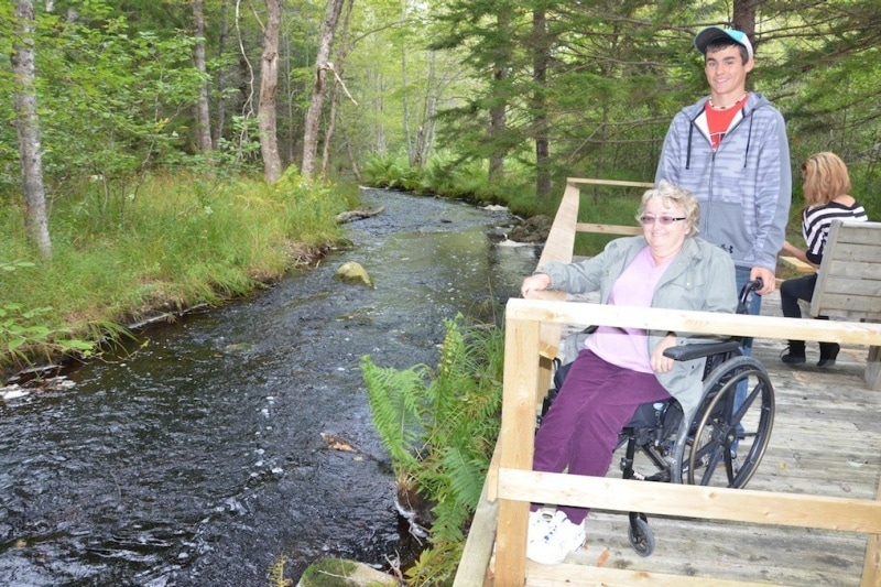
Wheel chair accessible on Aunt Sarah's Brook
600 metres of wide level trail with a crusher dust surface and wooden platforms for viewing and even fishing the brook.
|
Single track wilderness trails
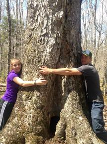
A network of single track trail follow small brooks, connecting to pools and stillwaters, and also cross drumlins and meadows. One passes through a stand of old birch and maples - some of them close to 150 or 200 years old.
Picnic Rock, a large granite boulder, offers shelter and benches for taking a break. |
Crown logging roads on Pine Brook Lot
The Acacia Valley Trails connect to trails on Crown Land via the ATV bridge over Aunt Sarah's Brook and for hikers and skiers via the Hardwood Ridge Trail. The Pine Brook lot trails link to the Rifle Range on Sissiboo Road and also to Ellison Lake.
|
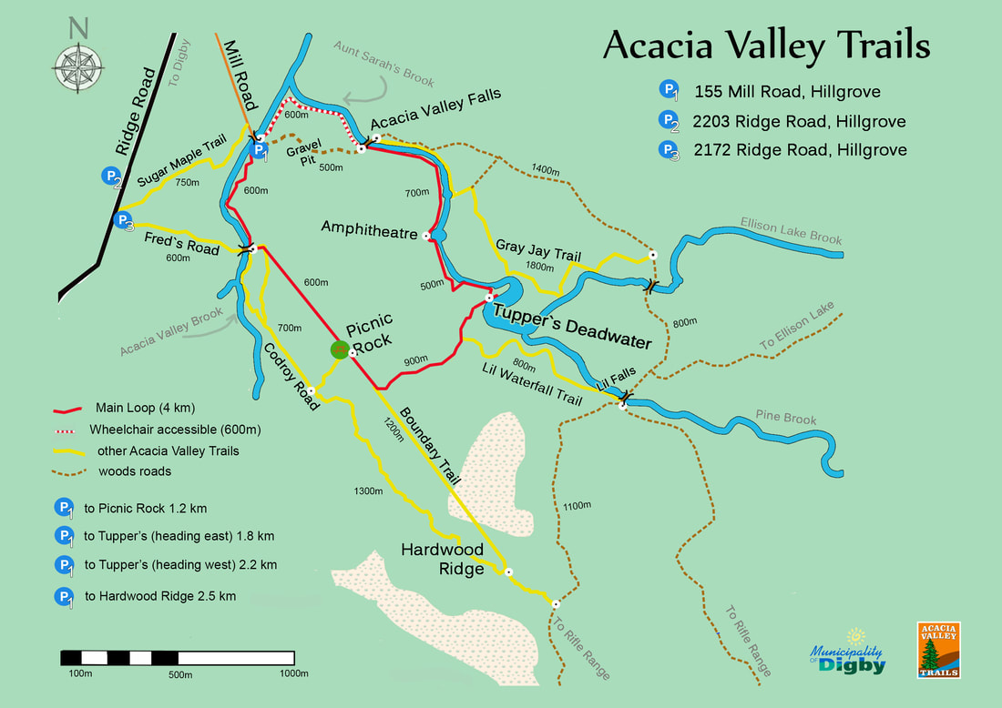
Location
|
Coming from Digby through Conway, continue straight under the Hwy 101 overpass and continue towards Hillgrove on the Ridge Road.
If coming by Hwy 101, take Exit 26 and head south on the Ridge Road towards Hillgrove. From Exit 26, Mill Road is just over 6 km on the left (350 metres past the road to the airport). Parking for the trails is available at the very bottom of Mill Road. The province plows this gravel road regularly but the bottom section is steep and can be slippery depending on snowfall and amount of ice. |
Use the interactive map below to locate the trailhead.
|