Gulliver's Cove Trails
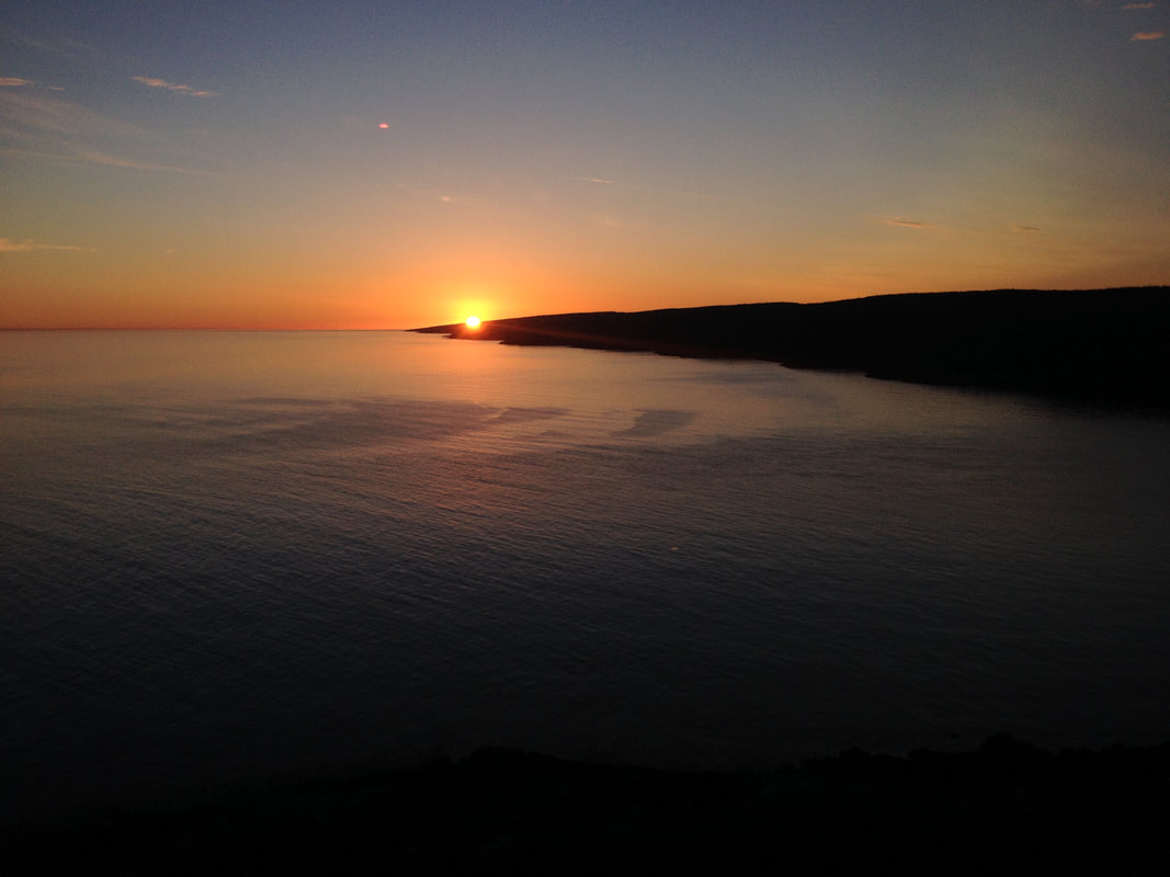
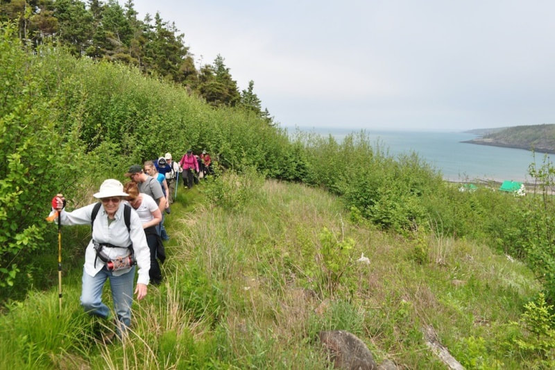
The Gulliver's Cove trails will lead you to a series of stunning views of the Bay of Fundy and surrounding woodlands. The growing network has a trail for every fitness level and degree of hiking ambition; from gentle seaside rambles to strenuous hilly climbing and woods walking.
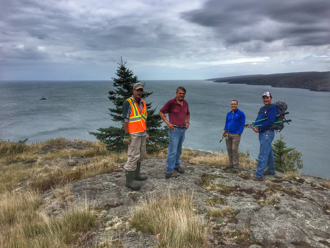
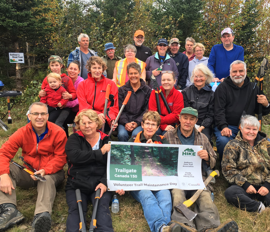
Thanks to all the volunteers
at the Gulliver's Cove trail clearing party on Oct. 14.
Check out our #digbyrocks blog for a full report and photos.
at the Gulliver's Cove trail clearing party on Oct. 14.
Check out our #digbyrocks blog for a full report and photos.
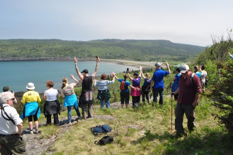
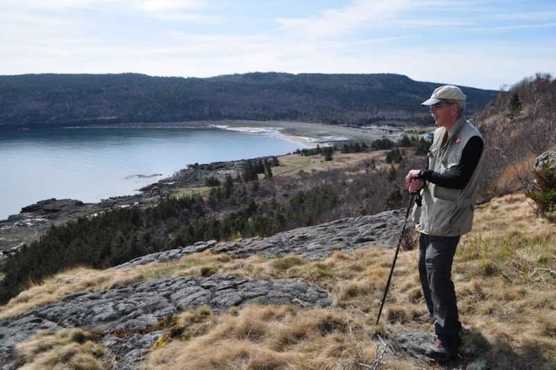
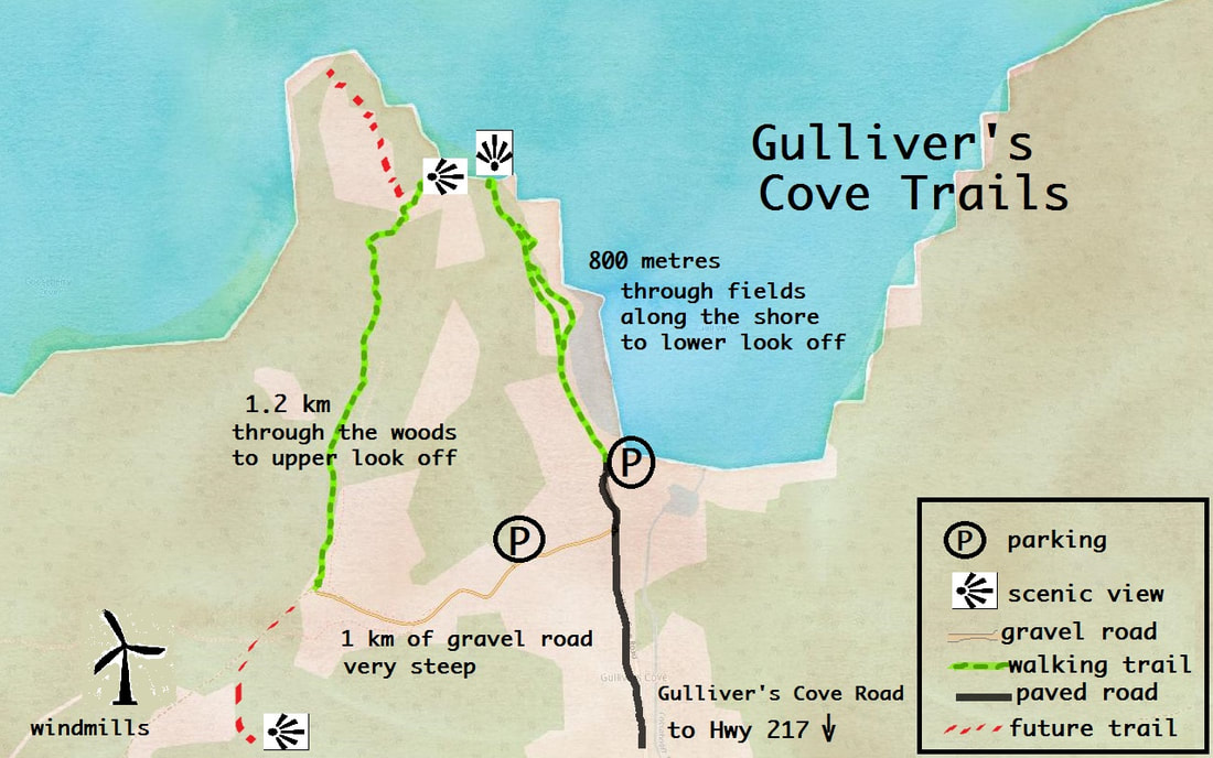
The Gulliver's Cove High Cliffs trail is a short (800-metre) stroll through fields and small woods. The rest area at the end has benches and a picnic table offering a fantastic view of the 80-metre cliffs where peregrine falcons nest in season. Off shore from here, lobster and scallop boats are often going back and forth, and gannets can be observed diving after a meal. Seals are frequent visitors and the sharp eyed might see porpoise swimming by.
The other trail, and future trails, are atop the hills above. Walking up the steep gravel road from the main road is a bit of work out but the views up there are incredible.
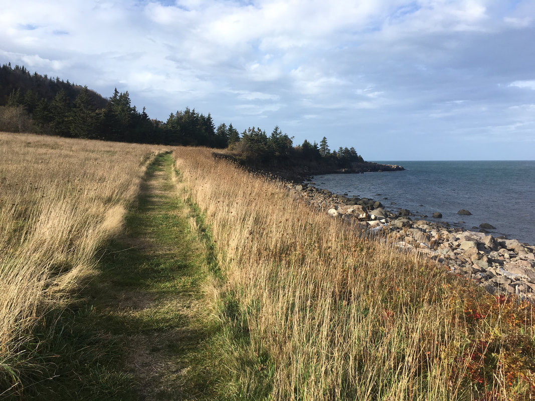
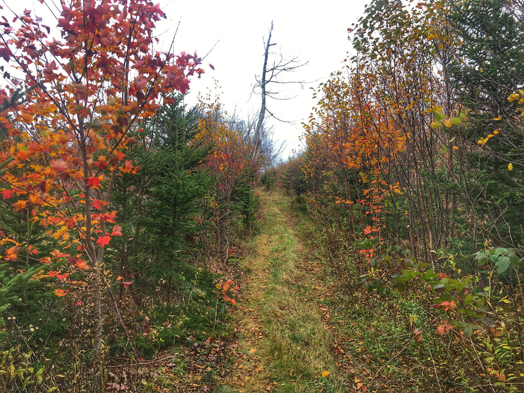
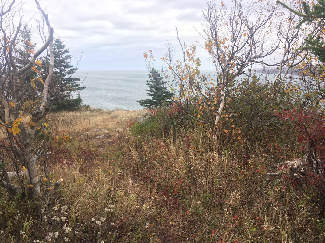
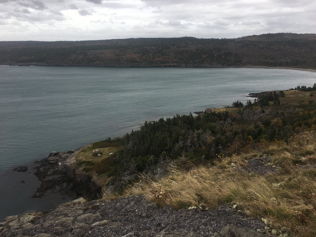
The Gulliver's Head Trail, of which 1.2 km is now complete, is more or less level (once you reach the trailhead) and leads to a stunning look off atop the 80-metre High Cliffs. The trail is a great place for bird watching or bird listening in season and the wide clear path makes for a nice ramble no matter the time of year.
From the look off you get an amazing view east along the shore of Digby Neck and south into Gullivers Cove.
This trail will eventually be extended another 600 metres right out to the end of Gulliver's Head.
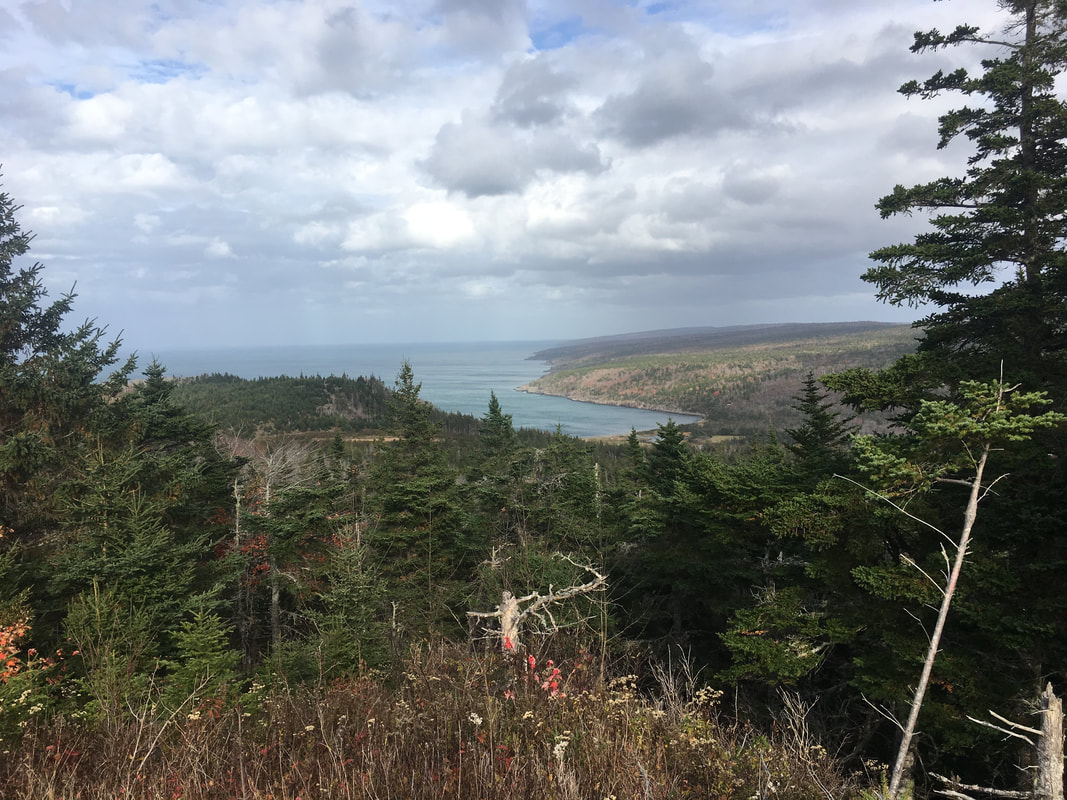
A third trail is in the works, leading more inland and higher into the hills, offering an even greater view of both the Bay of Fundy and St. Mary's Bay.
The other trail, and future trails, are atop the hills above. Walking up the steep gravel road from the main road is a bit of work out but the views up there are incredible.
The Gulliver's Head Trail, of which 1.2 km is now complete, is more or less level (once you reach the trailhead) and leads to a stunning look off atop the 80-metre High Cliffs. The trail is a great place for bird watching or bird listening in season and the wide clear path makes for a nice ramble no matter the time of year.
From the look off you get an amazing view east along the shore of Digby Neck and south into Gullivers Cove.
This trail will eventually be extended another 600 metres right out to the end of Gulliver's Head.
A third trail is in the works, leading more inland and higher into the hills, offering an even greater view of both the Bay of Fundy and St. Mary's Bay.
DIRECTIONS
|
|
The Gulliver's Cove Road is about 10 minutes or 13 km from the start of Hwy 217 in Digby. Turn right and follow Gulliver's Cove Road to the shore at the end - about 4 km.
The main parking area is at the shore in mowed out areas where the old fish sheds of Gulliver's Cove used to stand. For the upper trails, turn up the gravel road at civic #679. There is another smaller parking area about 150 metres up the gravel road on the right. Follow the GCTA signs. |