Haines Lake Recreation Area
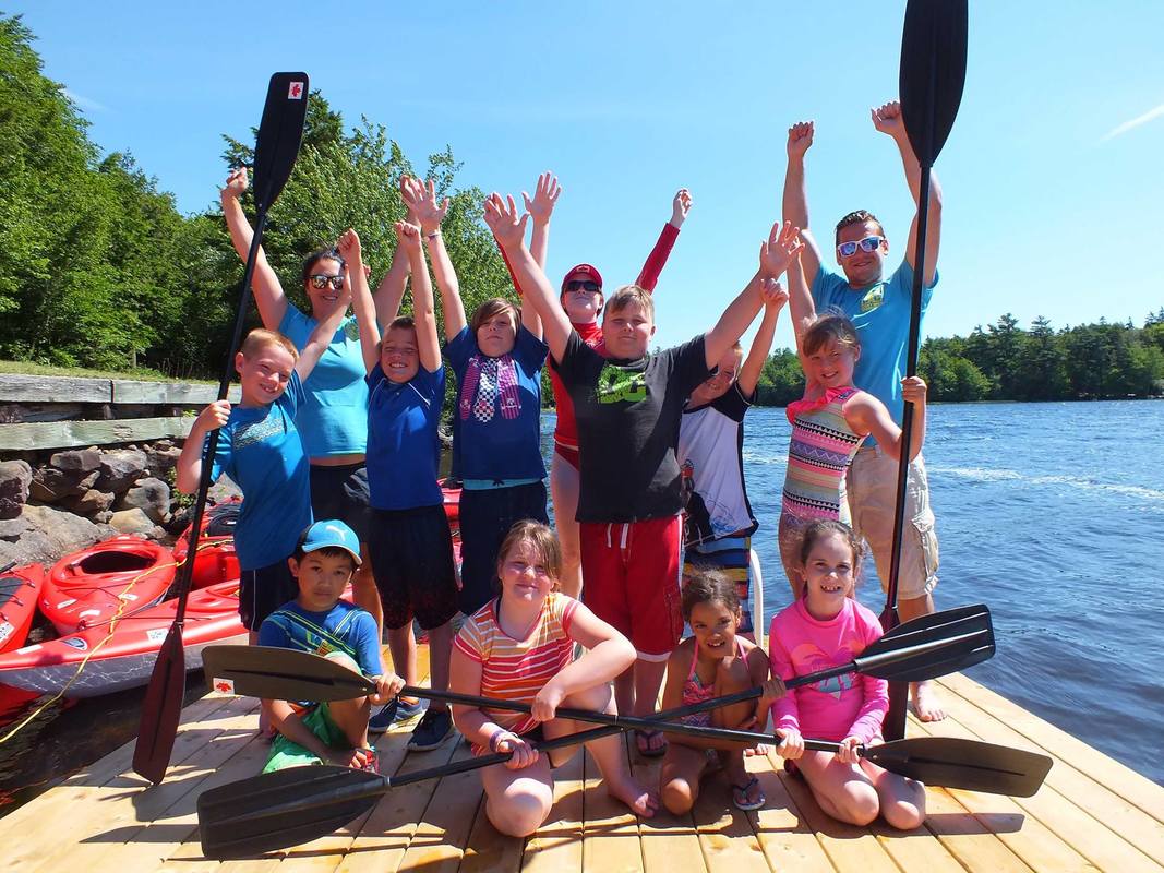
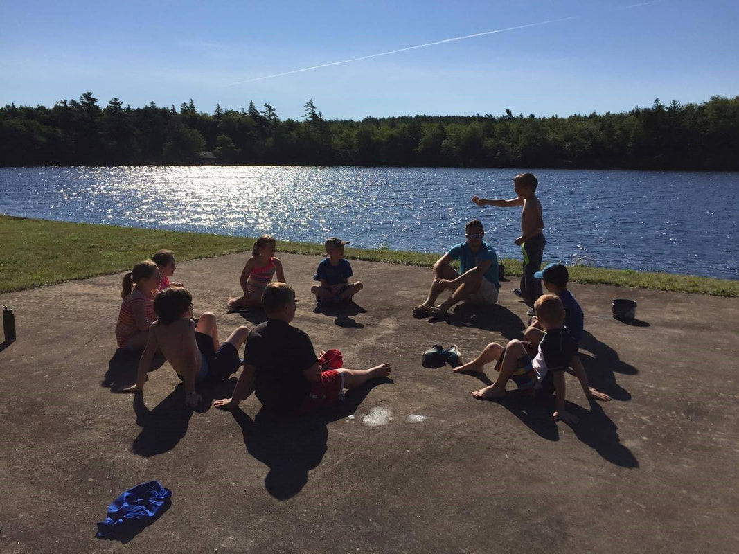
Waterfront for swimming and paddling, woods for exploring, fields for play - the Haines Lake Recreation Area has been used by various groups, including Digby Area Recreation, for day camps, paddling lessons, and workshops.
The Municipality of Digby continues to seek partner organizations who need space for outdoor activities. The Municipality is also working on plans for further developing the site as an outdoor recreation facility. Besides the waterfront, beach and docks, the Haines Lake Recreation Area has a group shelter with two plumbed washrooms. See below for more detail on facilities. |
|

FACILITIES
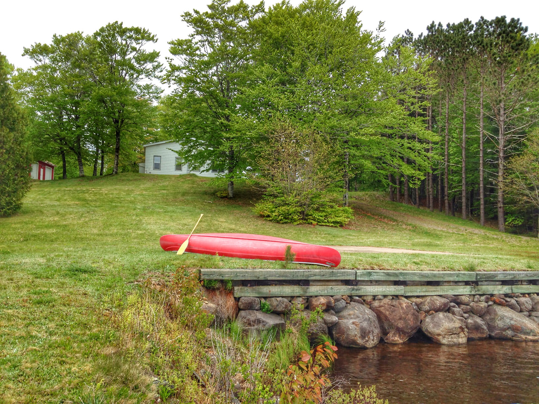
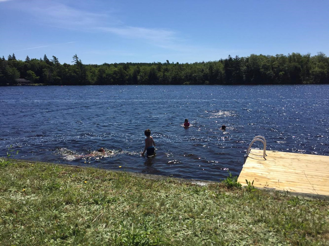
- 120 feet of freshwater waterfront on Haines Lake
- shallow warm water for swimming or boating instruction
- dock with two floats, access ramp and ladder
- sandy beachfront area
- extensive lawn space for small games
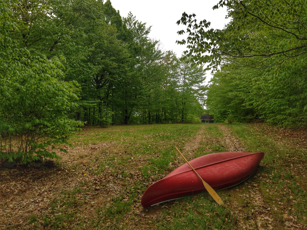
- sheltered, more private clearing in the woods with lawn and campfire facilities
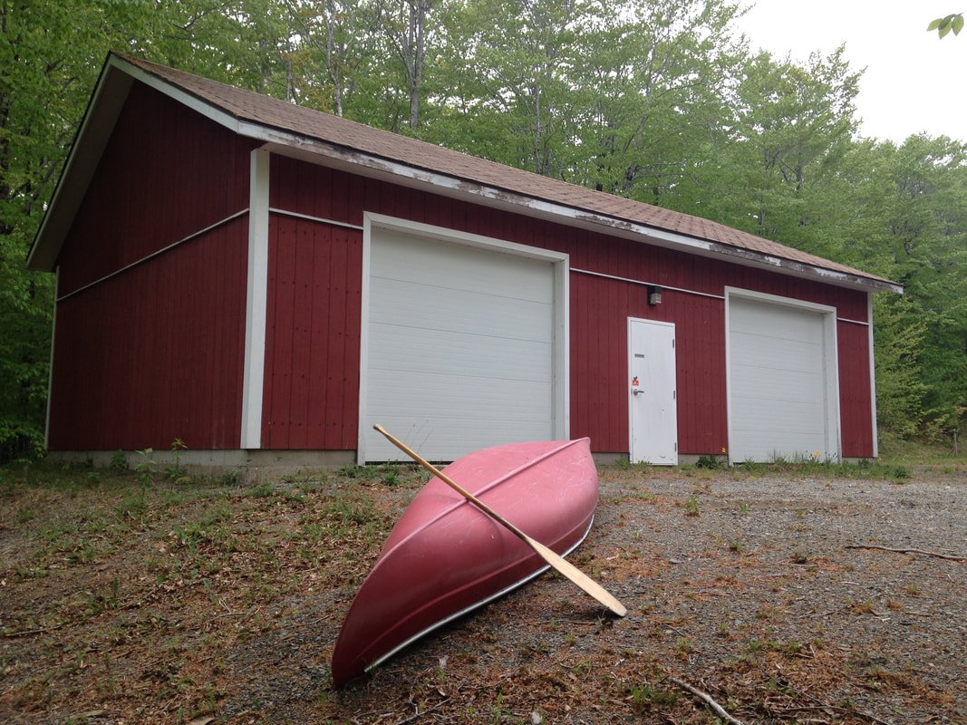
- group shelter building with two washrooms, running water, hot and cold
- shelter building locks for secure overnight equipment storage
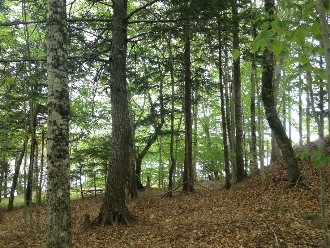
- several acres of woodlands
- small lake perfect for exploring by canoe or kayak
- 10 minutes from town
- shallow warm water for swimming or boating instruction
- dock with two floats, access ramp and ladder
- sandy beachfront area
- extensive lawn space for small games
- sheltered, more private clearing in the woods with lawn and campfire facilities
- group shelter building with two washrooms, running water, hot and cold
- shelter building locks for secure overnight equipment storage
- several acres of woodlands
- small lake perfect for exploring by canoe or kayak
- 10 minutes from town
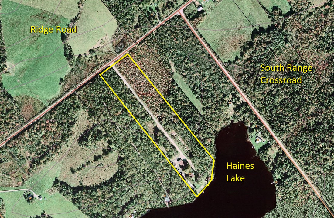
Location of Haines Lake Recreation Area
Haines Lake Municipal Recreation Area
1632 Ridge Road North Range, NS The former Natural Resources offices is 10km south of Digby on the Ridge Road. Coming from Digby through Conway, continue straight under the Hwy 101 overpass and continue towards Hillgrove on the Ridge Road. If coming by Hwy 101, take Exit 26 and head south on the Ridge Road towards Hillgrove for 10km. |
Contact Us
For more information, contact Candace Levings, Trails Coordinator at 902-308-6063 or by email at clevings@digbymun.ca