VAN TASSEL LAKE TRAILS
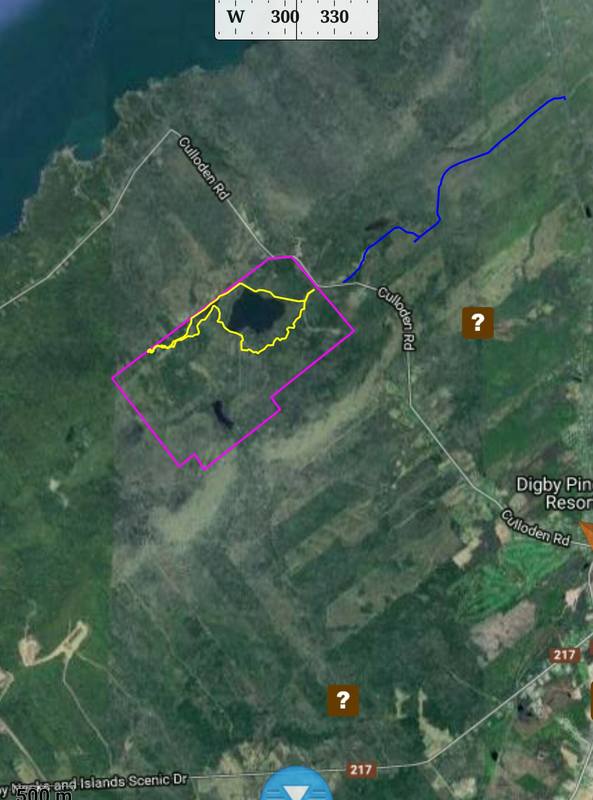
The Van Tassel Lake Trails are situated on 550 acres of woodlands belonging to the Town of Digby, part of the Van Tassel Lake Watershed Area.
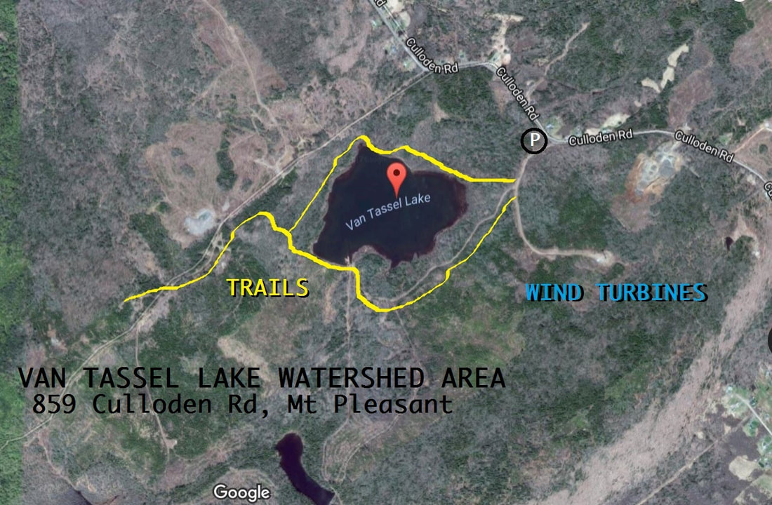
The town's gravel parking lot at 859 Culloden Road in Mount Pleasant serves as a convenient trailhead complete with a map of and information about the hiking trails.
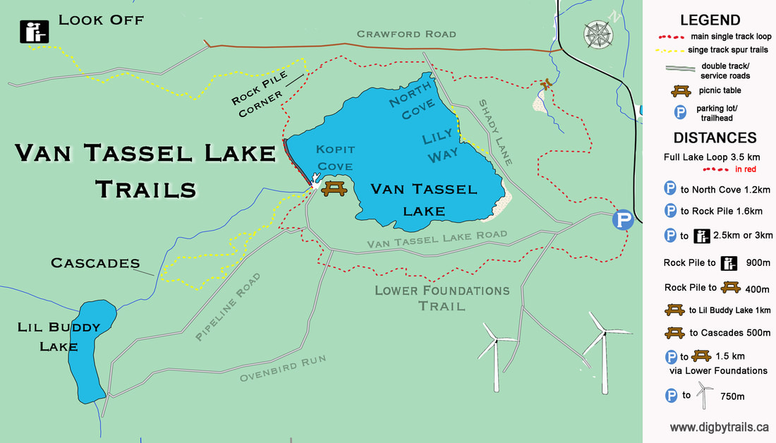
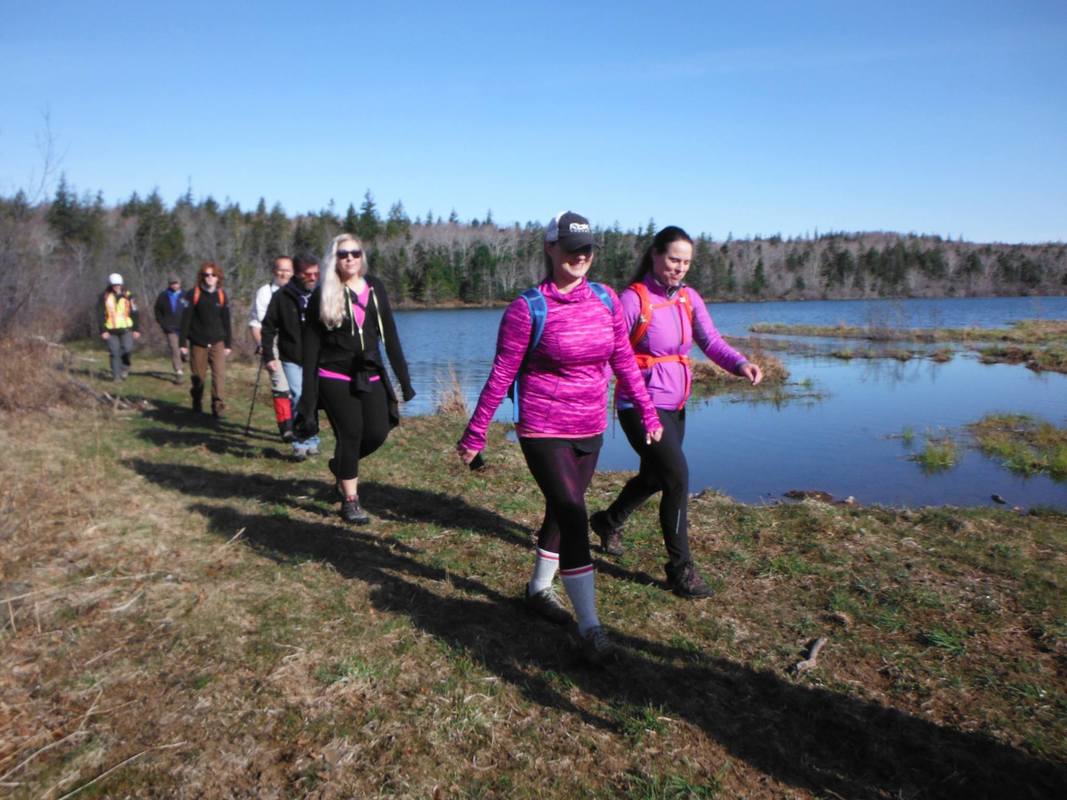
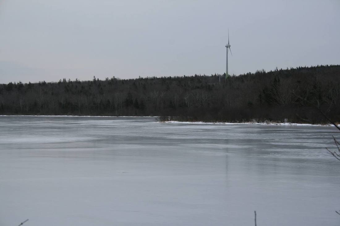
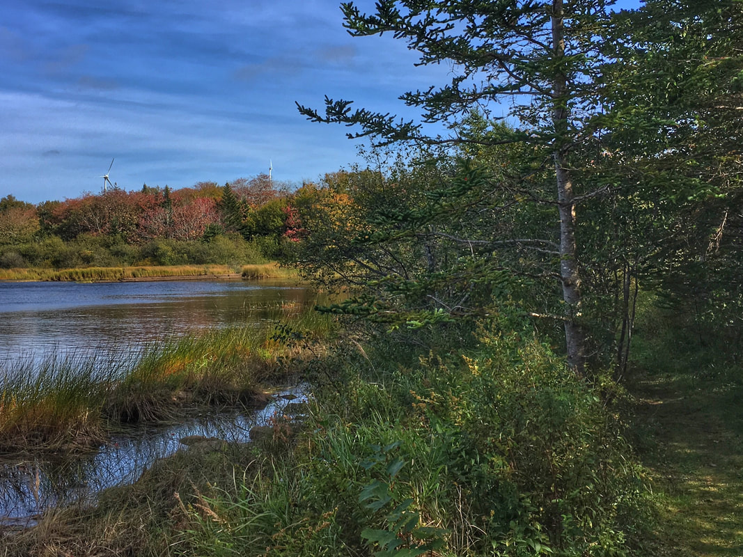
The trail network consists of a combination of the town's access roads and wilderness walking trails. The wide gravelled access roads, open for walking and cycling only, lead to the bigger Van Tassel Lake, a smaller reservoir and dam downhill from the main lake, as well as to wind turbines operated by the Municipality of the District of Digby.
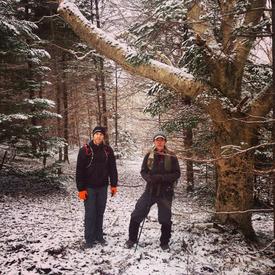
The association of volunteers has also cleared and marked 5 km of hiking trails, including 3.5 km of single track hiking trail around the lake. The trail system also includes two spurs:
- a 1 km spur leading to a look off with a view of nearby woodlands and through a gap in the hills to Conway, Smith’s Cove and Marshalltown.
- and a 900m loop leading to the Cascades - a gentle waterfall in a beechwood.
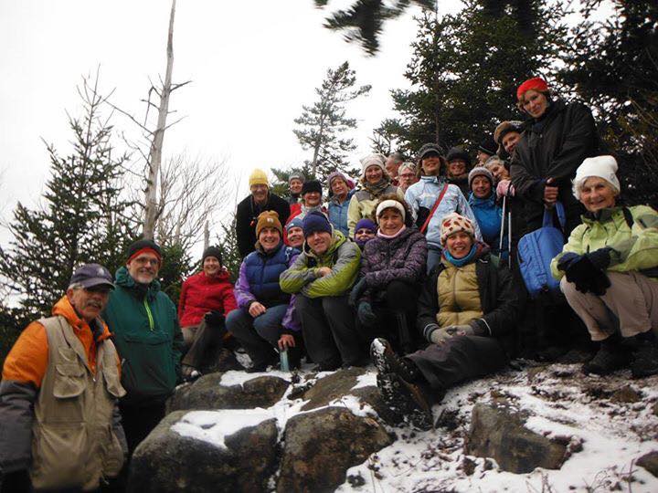
To keep up with developments and events on the VTLTA trails, visit and like the Van Tassel Lake Trails Association on Facebook.
The town's gravel parking lot at 859 Culloden Road in Mount Pleasant serves as a convenient trailhead complete with a map of and information about the hiking trails.
The trail network consists of a combination of the town's access roads and wilderness walking trails. The wide gravelled access roads, open for walking and cycling only, lead to the bigger Van Tassel Lake, a smaller reservoir and dam downhill from the main lake, as well as to wind turbines operated by the Municipality of the District of Digby.
The association of volunteers has also cleared and marked 5 km of hiking trails, including 3.5 km of single track hiking trail around the lake. The trail system also includes two spurs:
- a 1 km spur leading to a look off with a view of nearby woodlands and through a gap in the hills to Conway, Smith’s Cove and Marshalltown.
- and a 900m loop leading to the Cascades - a gentle waterfall in a beechwood.
To keep up with developments and events on the VTLTA trails, visit and like the Van Tassel Lake Trails Association on Facebook.


LOCATION:
|
|
Location
Van Tassel Lake Watershed Area 859 Culloden Road Mount Pleasant, NS Gravel lot parking lot provides space for a half-dozen vehicles. Signage at the trailhead includes a map of the trail system. |