I get asked a lot where is a good place to ski or snowshoe near Digby. Well there are tons but I'll keep this post to just my top five recommendations.
If you get through these and need more, let me know, or if you feel I've overlooked a cool spot, then send me an email at [email protected].
My top five spots for skiing or snowshoeing near Digby are:
If you get through these and need more, let me know, or if you feel I've overlooked a cool spot, then send me an email at [email protected].
My top five spots for skiing or snowshoeing near Digby are:
- The Digby Pines golf course
- Acacia Valley Trails
- Van Tassel Lake trails
- Railbeds
- Lake Joli
1. The Digby Pines Golf Resort and Spa
|
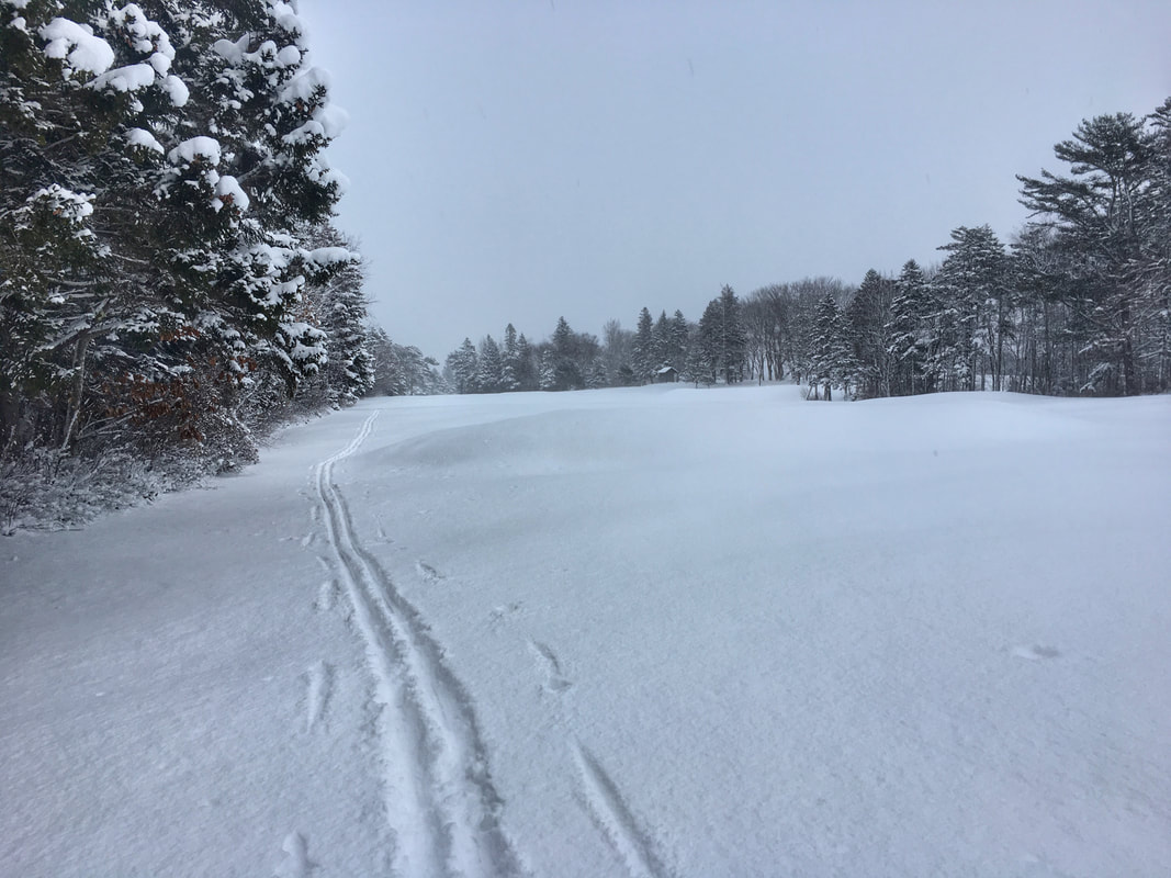
The Pines keeps the parking lot cleared and welcomes people to enjoy their terrain respectfully once the ground has frozen and a protective blanket of snow covers the grass.
Local children and children-at-heart toboggan on the slopes nearest the clubhouse but there are 220 acres of fantastic skiing and snowshoeing to explore here. (Google Maps directions) |
2. Acacia Valley Trails
|
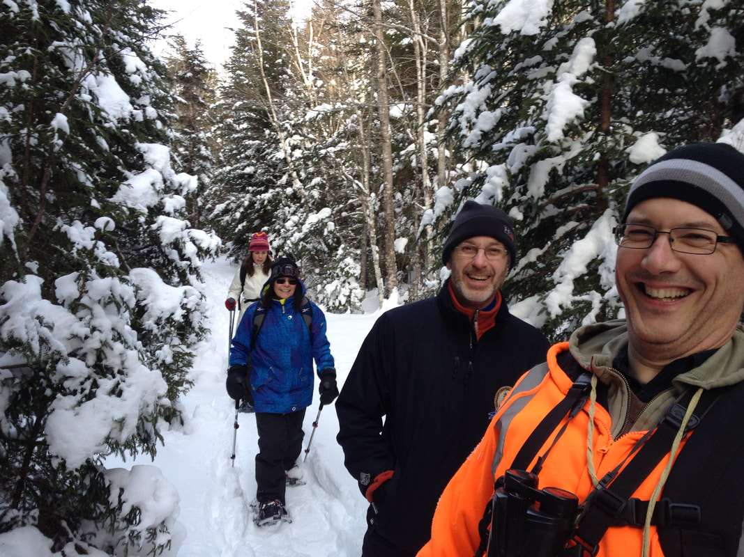
The Acacia Valley Trails offer a mix of woodland trails, less than 10km from Digby, with a little something for everyone: flat wide and clear wheelchair accessible trails, twisty narrow single track walking paths and an ATV bridge, all connecting to miles and miles of logging roads on neighbouring Crown lands.
[For more info and a map see the digbytrails webpage: www.digbytrails.ca/acacia-valley.html] The Department of Transportation and Infrastructure Renewal keeps the Mill Road plowed right to the bottom where there is lots of room for parking. The trails to the east of the parking lot are generally wider and smoother - the trail heading away along the brook to the south (towards Picnic Rock and the hardwood Ridge) are wilder, tighter with lots roots and rocks - therefore requiring more snow. All trails connect to an extensive network of Crown land logging roads where you can ski for days. (Google Map directions) |
3. Van Tassel Lake Trails
|
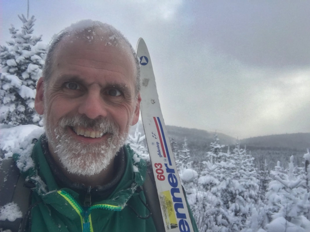
The Van Tassel Lake Trails are situated on 550 acres of woodlands belonging to the Town of Digby, part of the Van Tassel Lake Watershed Area.
[For more info and a map see the digbytrails webpage: www.digbytrails.ca/van-tassel-lake.html] The town's gravel parking lot at 859 Culloden Road in Mount Pleasant serves as a convenient trailhead complete with trail map. The Municipality clears the road into the parking area periodically and volunteers with the Van Tassel Lake Trails Association try to keep some parking spaces clear in winter. Skiing on the town's access roads is straightforward and could include a trip to the lower reservoir or up to the wind turbines. There is 3 km of narrow single track looping the big lake with a rough surface and uneven terrain, which is perfect for snowshoeing with enough snow. A one-km spur also leads to a spectacular look off - this trail is by times steep and twisty but it is definitely worth it for the view up top. |
4. Railbeds
The rail beds in the Municipality of the District aren't technically a trail yet - but we're working on it. Right now the "tracks" are Crown land where everyone is free to recreate. Parking near the railbed can be tricky in the winter, but one good spot is beside the Heritage Centre across from the Digby Firehall.
The big advantage of the railbed is the level surface and easy wayfinding. And if snowmobiles have been over the tracks, they make a great surface for skiing on.
[For more info and a map see the digbytrails webpage: www.digbytrails.ca/railbed.html]
The big advantage of the railbed is the level surface and easy wayfinding. And if snowmobiles have been over the tracks, they make a great surface for skiing on.
[For more info and a map see the digbytrails webpage: www.digbytrails.ca/railbed.html]
5. Lake Joli and the Seven Lakes Loop
|
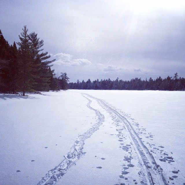
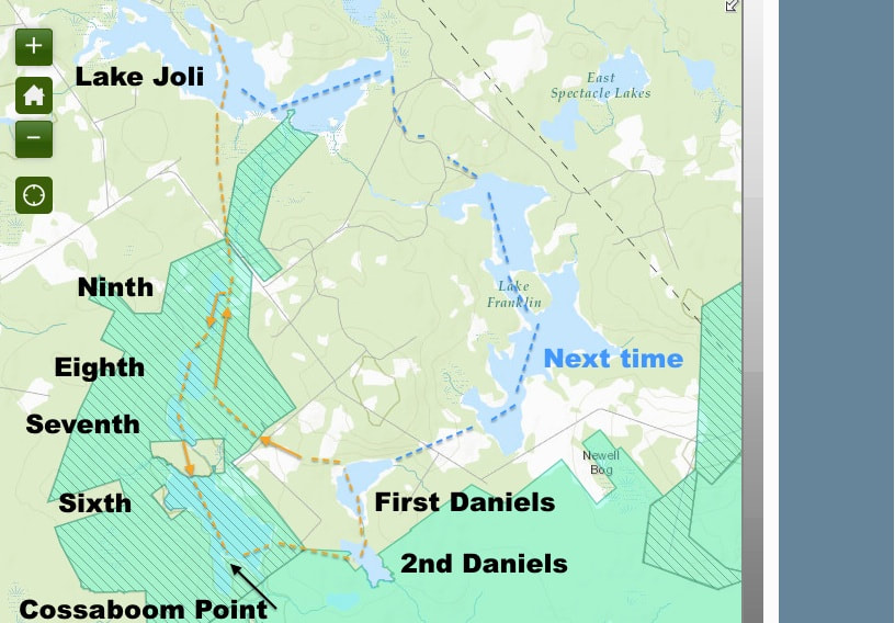
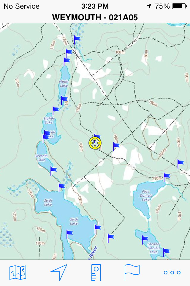
There is fantastic back country skiing south of Bear River for experienced skiiers.
The Seven Lakes Loop crosses over freshwater lakes so skiiers need to be familiar with ice safety, ice rescues, and backcountry navigation and survival. To reach Lake Joli, take the old brook road south from Bear River, through Morganville and back to the landing at W 65.561036, N 44.476623. The roads are normally plowed by the province as far as Morganville but after that it is hit or miss. If the forecast is for snow or other bad weather, the Lake Joli Road often becomes impassable beyond Morganville. From the landing on Lake Joli, head south over the lake. Usually (when ice conditions allow) there are snowmobile tracks to follow, leading to old logging tramways. The tramways were pathways for wooden tracks for trains that fed timber to the clothespin factory that used to operate on the shore of Lake Joli at the landing. The tramway leads over to Ninth Lake (headwaters of the Sissiboo River) and then continues past Eighth and Seventh Lakes. However if ice conditions allow, it makes for a fun loop to ski over Ninth and take the portage to Eighth, then the portage to Seventh and the portage to Sixth. A long trail starting on the eastern side of Sixth Lake connects Sixth Lake to Second Daniels. There is then a trail connecting Sixth Lake (on its eastern shore) with Second Daniels and a trail from Second Daniels to First Daniels. On the western shore of Second Daniels at an obvious camp landing, you can get on the tramway back towards Ninth Lake and Lake Joli, making a nice daylong loop of lakes possible. These tramways cross and connect with an extensive network of logging roads and portage trails - making for endless skiing but also the complicated network can be confusing for navigation. There is spotty to zero cell service in this area so travellers should bring some other form of emergency communication device and be prepared to be self reliant in case of emergency or changing conditions |
